Aim
For several reasons, historic graves may not be marked by headstones or markers on the surface. A new development in a previously unused area of a cemetery requires clarity on the existence of potential unmarked graves. This geophysical survey aimed to investigate if and where potential unmarked graves were present.
Approach
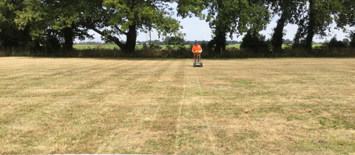
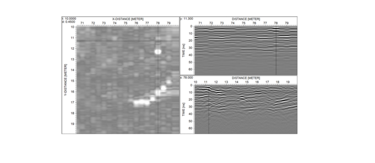
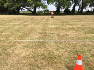
The roughly 7,000 m2 area was scanned at regular 0.5 m spacing with a lower frequency GPR (Ground Penetrating Radar) – see below. The 580 individual profile lines were then collated to produce a 3-dimensional map of the subsurface across the site. This allowed for vertical slicing through the area to identify features of interest at different depth levels.
Results
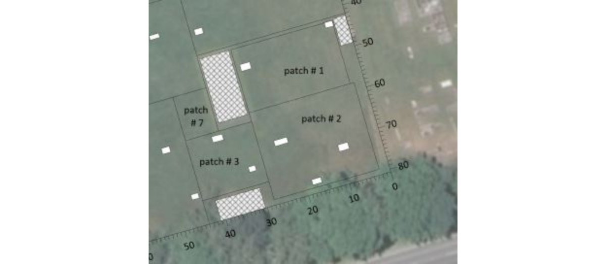
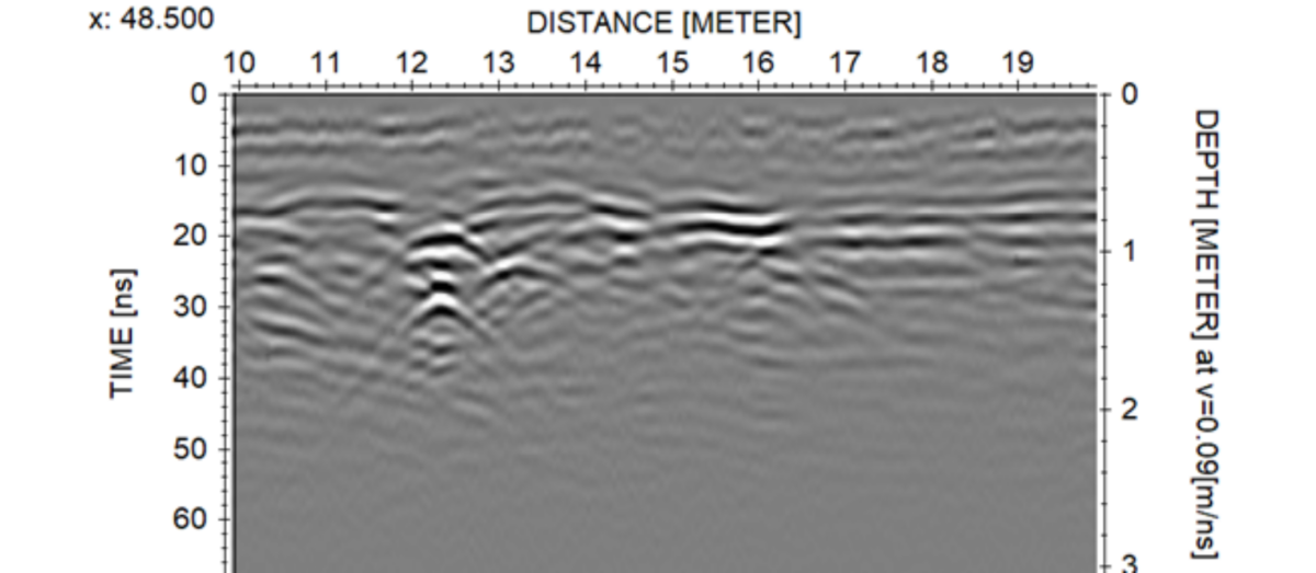
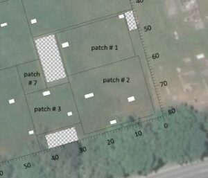
A total of 27 potential unmarked graves scattered over the site were discovered by the GPR investigation. GPR anomalies indicative of ground disturbance (see below) were identified within the anticipated depth interval and were traceable over a realistic horizontal extension.

these were interpreted as the targeted features and marked out on the map (see white rectangles in figure below). The identified features were similar in shape and pointing in the same direction as marked graves visible on the surface. This gave further confidence in the accuracy of the geophysical interpretation in the total absence of any invasive data.
Outputs & Value
Obtaining a visualization in the form of a target map greatly helps to plan any future developments in this specific case, but also in general for where unknown underground targets may pose a potential risk to construction delays (e.g. archaeological remains). GPR scanning and mapping is a cost-efficient way of performing a site reconnaissance where such targets are suspected to be present. It will give an accurate indication of problematic areas while saving valuable project time and reducing overall costs.