Aim
While trying to determine a location for a pipeline, a historic landfill was identified. This project aimed to determine the location, depth and extent of the landfill, as well as any potential leachates.
Approach
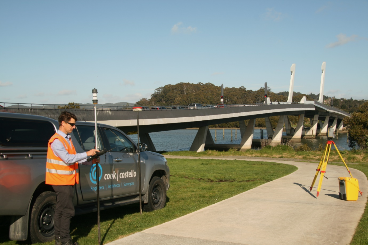
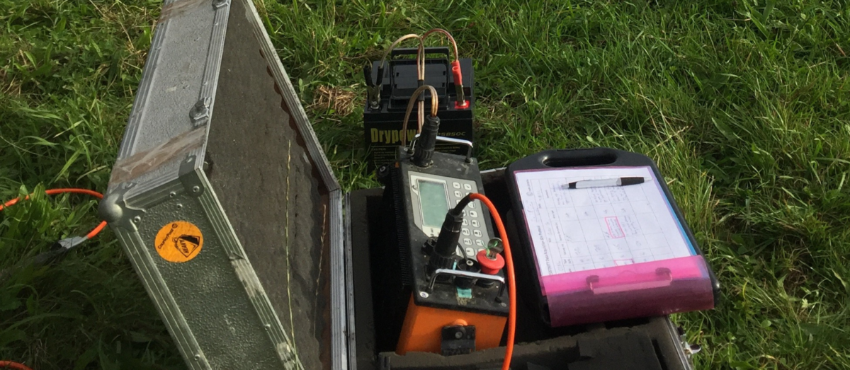
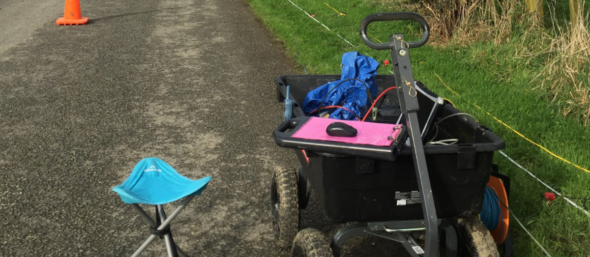
An Electrical Resistivity Tomography (ERT) survey and a Multi-channel Analysis of Surface Waves (MASW) survey were undertaken. Due to the spatial constraints at the site, the survey lines were chosen to maximise the area covered and to integrate with the invasive geotechnical tests, all while working within the required time frame and budget.
Results
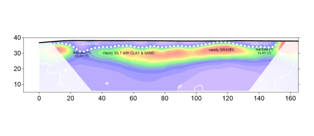
Figure 1 shows the layout of the ERT investigations and invasive tests, it also shows a contour map displaying the change in landfill depth below ground level (bgl) across the site, showing a maximum landfill depth of >5 m bgl. A dimensional ERT profile (Figure 2) shows the different layers in the subsurface. The landfill material is identified as the low resistivity layer in the top 5 metres and is underlain by a layer of sandy gravel.
Outputs & Value
With the combined geophysical and geotechnical testing approach, valuable information on the extent and volume of the landfill was gained. This greatly reduced the risk of unknown ground conditions for the client, reducing the number of invasive tests required and saving the overall project considerable costs.
Contact our Geophysics Team
geophysics@coco.co.nz
Wellington (+64) 04 472 7282
Christchurch (+64) 03 365 5960