Seismic Refraction Tomography
Seismic Refraction Tomography (SRT) is used to find out the different layers below the surface.
Seismic Refraction Tomography (SRT) is used to find out the different layers below the surface.

Click below to learn more about the science behind it all.
Multi-channel Analysis of Surface Waves (MASW)
Ground Penetrating Radar (GPR)
Electrical Resistivity Tomography (ERT)
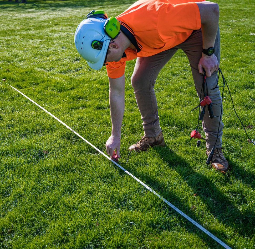
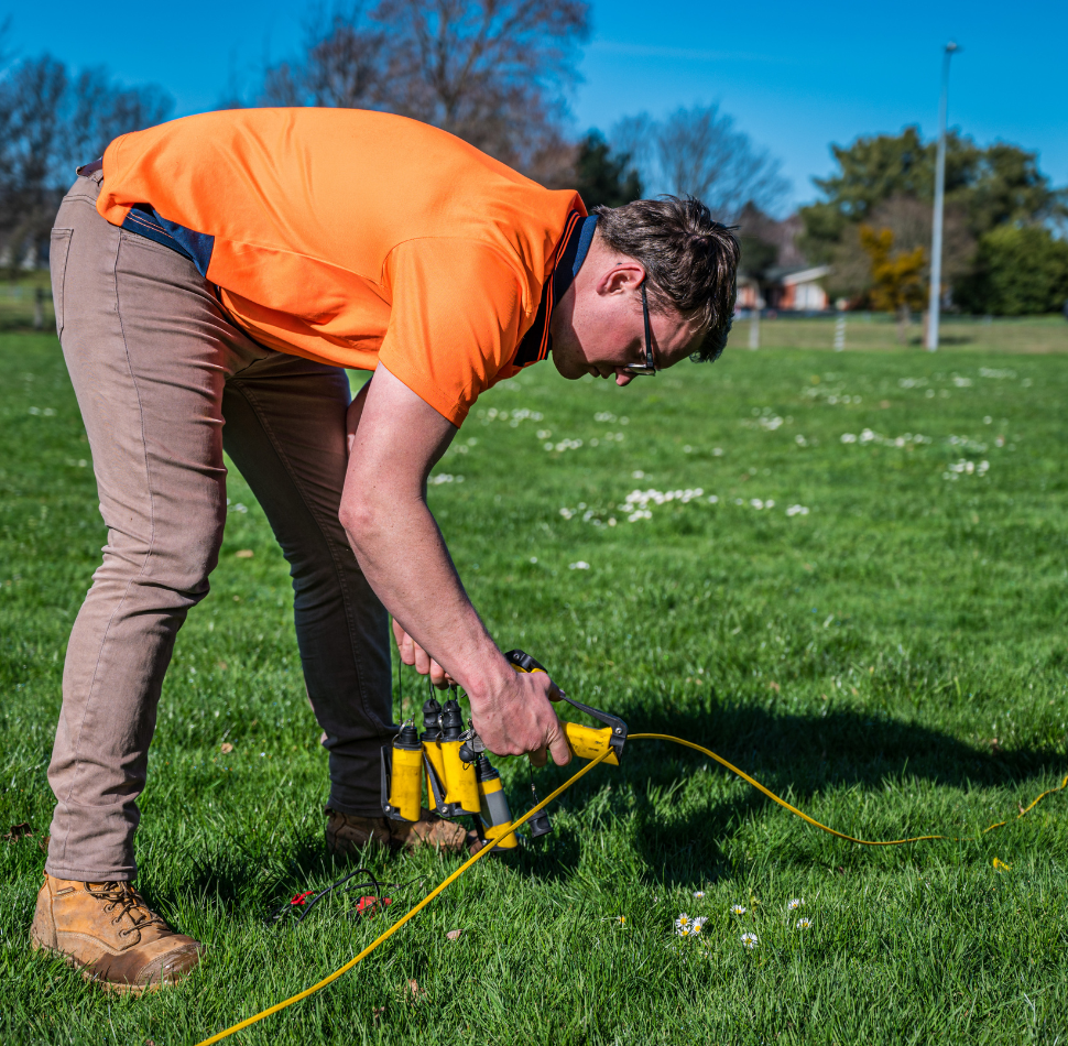
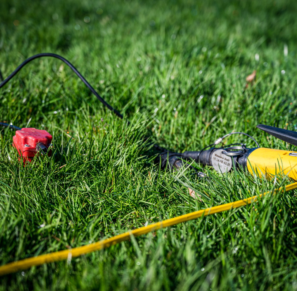
SRT can be scaled up from small sites to large-scale developments which makes it incredibly versatile. As with other seismic methods, SRT uses a series of sensors (geophones), spaced at equal distances. These geophones are pushed into the ground on a spike to ensure good contact with the ground and maximise the signal strength and data points are collected at set intervals along the line. The data points are generated using either a sledgehammer or an accelerated weight drop hitting an aluminium plate.
The SRT method can be used for many applications such as:
"*" indicates required fields
Find out how Cook Costello can help.